To support the scientific value of its plants, the Arnold Arboretum has historically collected and maintained information resources that document the natural history of the collection. Documentation of plants in the landscape began in earnest with the institution’s founding in 1872, pioneering methods that today serve as a standard for botanical gardens and arboreta around the world. Over the past twenty-five years, the Arboretum has improved precision and expanded access to this information for staff, researchers, and the general public through the use and development of a geographic information system (GIS).
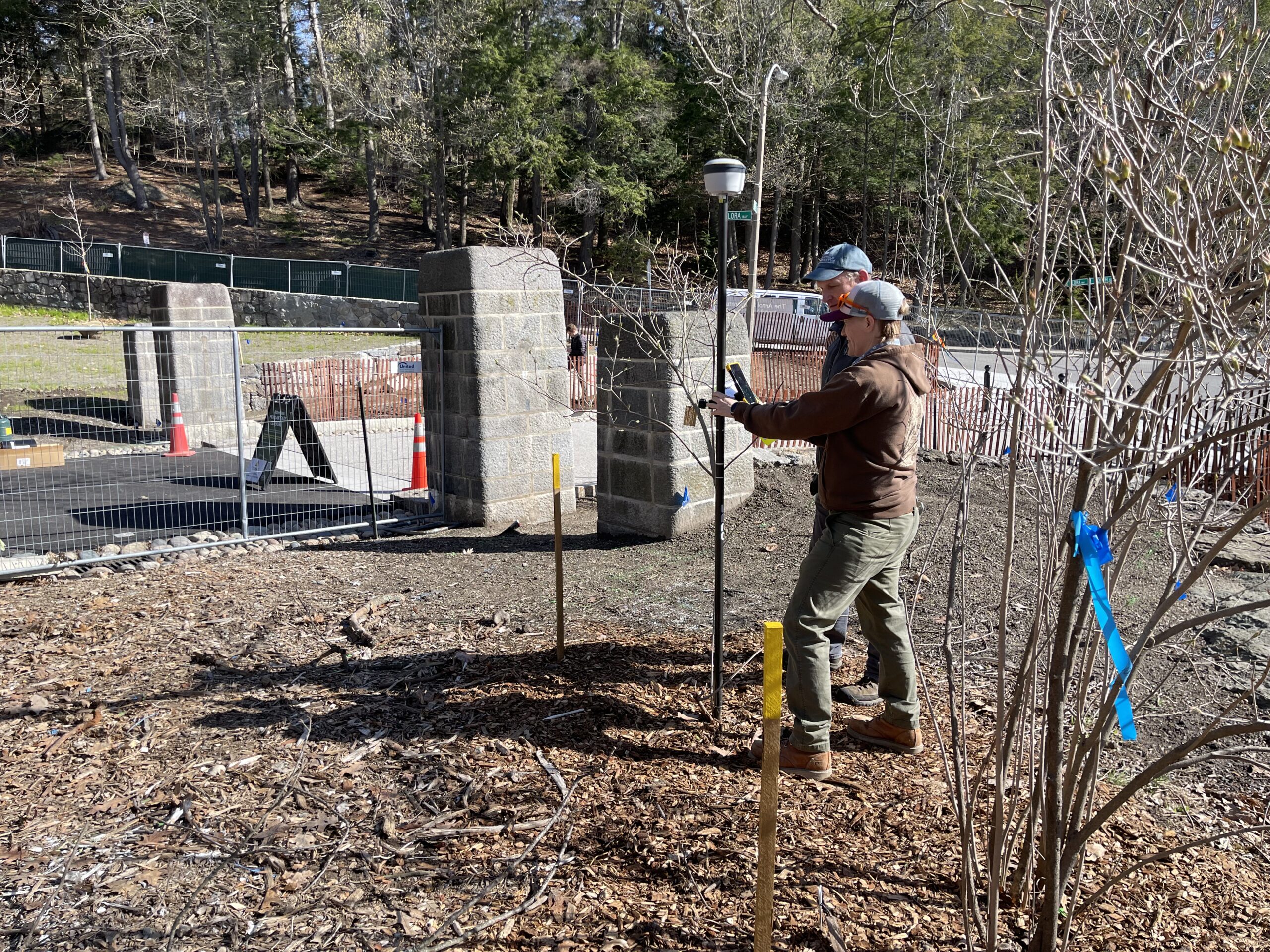
GIS enables the Arboretum to integrate collections documentation with geographically-referenced information for wide-reaching purposes, from collections care and curation to scientific study and public enjoyment. The Arboretum uses ESRI ArcGIS software to maintain it’s GIS and is available through Arboretum Explorer and REST services. More information can also be found on our Curatorial Procedures and Data Resources pages.
Why GIS?
As a living museum of natural history, the Arnold Arboretum is distinguished from the majority of gardens and landscapes through the systematic development and documentation of its collections. Like zoos and botanical gardens, the Arboretum differs from other museums in that the objects it curates are living things. However, like the treasures held by other types of museums, the individual plants in our landscape hold value through their provenance and the accumulation and dissemination of relevant information about them.
At the Arboretum, this information includes data about a plant’s natural history; its botanical description, taxonomic placement, and associated nomenclature; passport data related to its original collection in the wild (or other source); and unique evaluations and observations generated through field checks and research throughout its cultivation. Also included are collections control data compiled to manage the objects within the collection, including its accession number, its precise location in the landscape, its maintenance records, and documentation of its use in programs and research. Wrapping these data into a powerful GIS opens new avenues for curation, teaching and research, planning and maintenance, visitor-based initiatives, and biodiversity informatics.
Read more about the evolution of collection maps and GIS layers:
- Morgan, B. J. 2011. Geographic Information Systems for the Plant Sciences Arnoldia 69 (1): 14-22. [pdf]
- Connor, S. 2009. Bird’s-eye Views: Aerial Photographs of the Arnold Arboretum. Arnoldia 67 (1): 10-19. [pdf]
- Johnson, E. W. 1989. Cartographic Records of the Living Collections. Arnoldia 49 (1):61-64. [pdf]
- Quigley, J. 1989. Chronicling the Living Collections: the Arboretum’s Plant Records. Arnoldia 49 (1):54-60. [pdf]