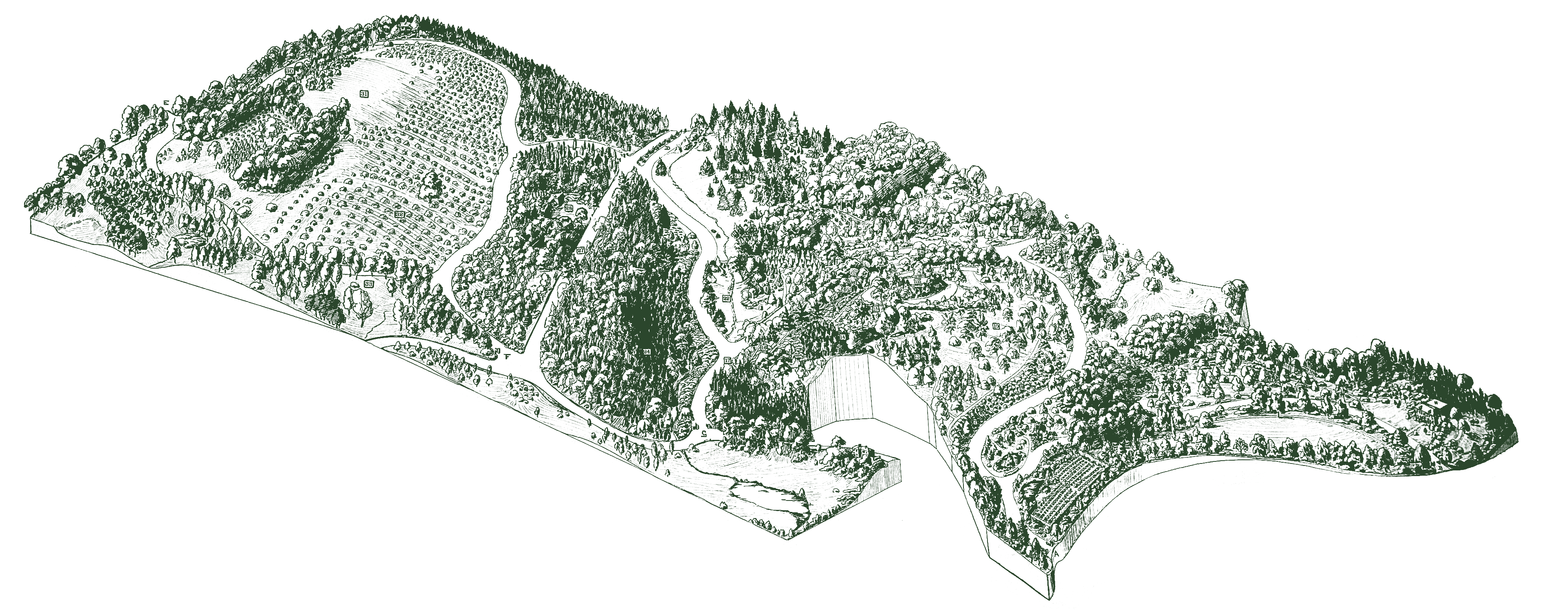
In the summer of 1927, a plane from Fairchild Aerial Surveys flew past the south side of Peters Hill and snapped the earliest view of our grounds from the air. In it, neat rows of hawthorns (Crataegus) radiate down from the hilltop. Just to the north, Hemlock Hill is thick with trees. To the west, the young Conifer Collection features much younger trees than we are accustomed to in the present day. Beyond, Bussey Hill Road curves upwards to the summit of Bussey Hill, home of today’s Explorers Garden. Further north, there is the old Shrub Collection, and finally the Hunnewell Building may just be made out in the far distance. This photograph, “the first airplane view to show all of America’s greatest hardy garden” ran in the autogravure section of the Boston Herald on November 20, 1927.
Bradford Washburn Flies In
Nine years later, Bradford Washburn took four aerial views of our landscape. He would go on to have a long association with the Arboretum that would include many more aerial photographs, as well chairmanship of the Arboretum’s visiting committee from 1955-1961. In an interview in October 2000, he said he began photographing the living collections simply “because they were interesting” and because he believed that they would provide a valuable “record of tree growth after twenty years or so.”

In the ensuing years, Washburn acted as project manager for contracted flyovers by Eastern Aerial Surveys, Northeast Aerial Photos, and Swissair Photos + Surveys. He directed the composition of the vertical images and took many of the oblique shots himself.
Compare his oblique view of the grounds taken in 1936 (looking south) with the first aerial from 1927 (looking north). Along the perimeter of the Arboretum, Centre Street has been straightened and widened in the intervening years (in 1931) and a small parcel added to the grounds at the corner of Centre and Walter Streets. The surrounding area has developed considerably and more houses have appeared on the side streets abutting the landscape.
The grounds have continued to mature as well. The lilac collection has rebounded from the severe pruning it received late 1926 and the Conifer Collection has grown taller. This photograph is also an important record of the state of the grounds just prior to the devastating hurricane in September 1938 that destroyed about 1,500 of our woody plants.
Since World War II
After a hiatus during World War II, aerial photography of our landscape resumed in 1950 when Arboretum Horticulturist Donald Wyman took to the air. Flyovers continued through the decade and into the next and we see the landscape as it continued to mature. The first color images came in a 1967 flyover
The Swissair surveys in 1979, orchestrated by Bradford Washburn, brought aerial photography of the Arboretum into the modern era, when the images were used to create a 100 foot to one inch base map of the grounds. The map was formatted into AutoCAD and later software was created to interface with our plant accessions database BG-Base.
Aerial photography has continued down to the present day and it has highlighted the on-going development of our landscape. In the last decade, drones have added to our imaging making possible to get a bird’s eye view of our grounds whenever we need it, but it was that puttering Fairchild airplane nearly one hundred years ago, that changed the way we look at, and conceive of our landscape ever since.


Dig Deeper
Sheila Connor, retired Horticultural Research Archivist of the Arboretum, wrote an in-depth article on the history of aerial mapping of our landscape in Arnoldia in 2009. Read it here.
Learn about mapping the Arboretum landscape in this 1938 article by Leon Croizat, and this 1989 Arnoldia article by Ethan Johnson.
Lisa Pearson would like to acknowledge the in-depth research on our aerial photography conducted by Sheila Connor and the help that it has been in writing this article.

