Winter (December 1, 2015, to February 29, 2016)
This meteorological winter was the third mildest winter on record (since 1872) for Boston, yet it also brought the lowest temperatures recorded at the Arboretum in nearly 30 years and subsequent damage to a number of plants in the collections.
Precipitation was above normal every month during this period for a total of 12.12 inches compared to the average of 10.40 inches. While snow typically accounts for much of winter precipitation (melted snow is measured as liquid precipitation), this year we received only 25.4 inches of snow. The snow-to-liquid ratio varies with temperature and other conditions, but assuming a rough range of 20:1 to 10:1, the snow accounted for just 1.3 to 2.5 inches of the total precipitation. This above average precipitation reduced the abnormally dry conditions of late 2015 and we entered spring under no drought conditions.
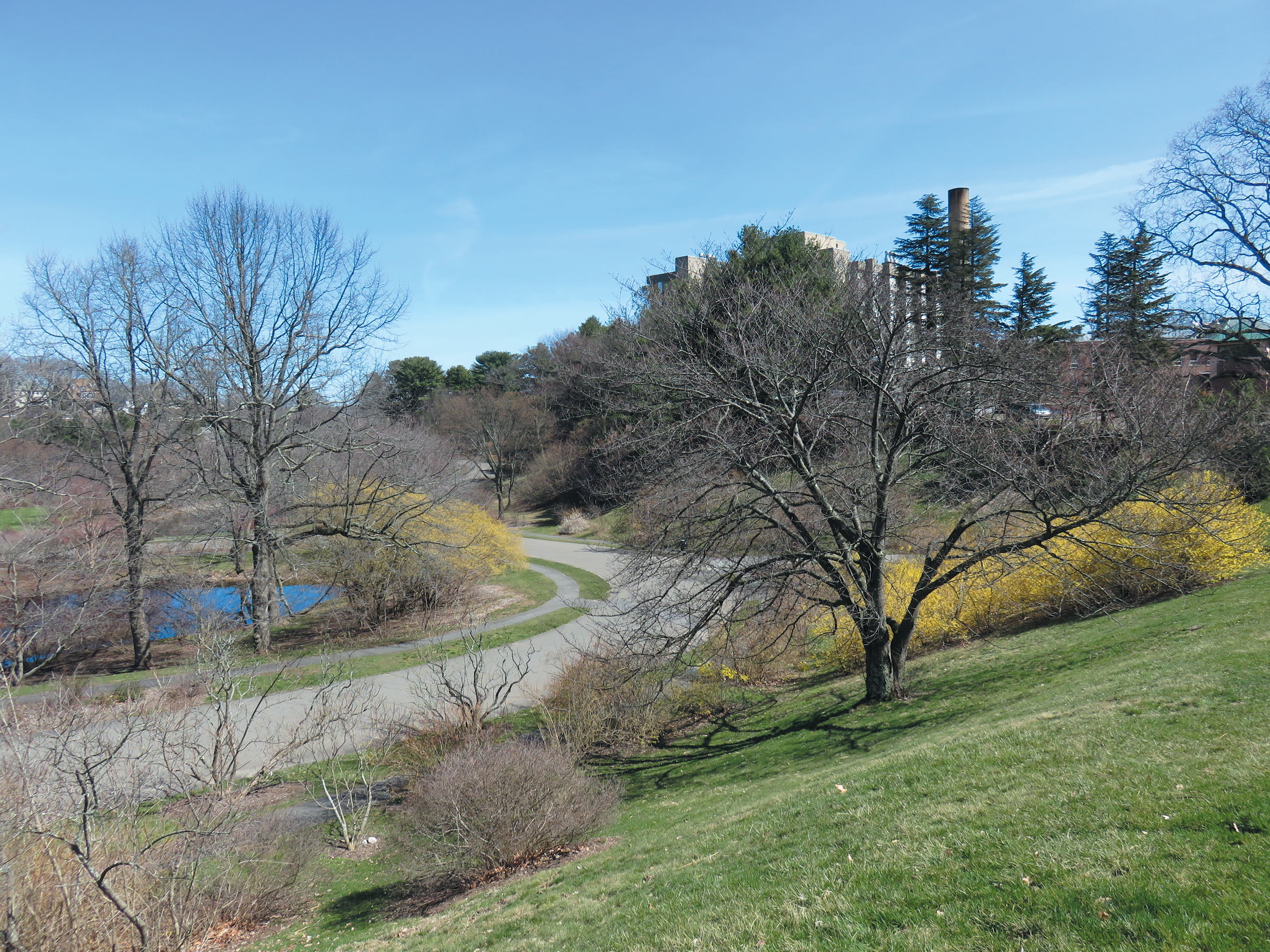
An extraordinarily warm December 2015 (temperatures were 10°F above normal) led into a mild January, with only 1.5 inches of snow falling during the latter part of the month. February began with above normal temperatures—highs from the upper 50s to mid 60s—before returning to normal. Most of the snow for the month (14.7 inches total) came during two snowfall events on the 5th–6th and the 8th. During the first storm a combination of wet, heavy snow and soft, unfrozen ground led to the toppling of a number of trees, including a large 85-year-old hemlock cultivar (Tsuga canadensis ‘Compacta’, accession 21278-A) on Hemlock Hill. By the 11th, an arctic front moved in, bringing frigid temperatures to the area. Low temperatures were below zero February 13th through 15th; the low of -11°F on Valentine’s Day was the coldest ever recorded at the Arboretum for February 14th. Unseasonably warm temperatures returned for the latter half of the month. February was notable for dramatic temperature fluctuations, with a difference of 76.3 degrees between the highest (65.3°F) and lowest (-11°F) recorded temperatures. The mild temperatures throughout early winter meant buds had started to swell far earlier than usual; the mid-February freeze resulted in damaged buds on some species as well as stem dieback and complete death of some marginally hardy specimens.
Spring (March 1 to May 31)
Precipitation was below normal during this period, with a total of 9.52 inches compared to the average 11.57 inches. This slight decrease in precipitation lead to abnormally dry conditions as we entered summer.
March saw temperature fluctuations fairly typical for spring weather. A record high was set on March 9th when the temperature soared to 78°F, breaking the old record by 6°F. This made an 89 degree temperature range within 24 days from the -11°F record on February 14th. Overall, March was warmer than average and had less precipitation than normal (2.96 inches versus 4.33 inches) despite consistent and regular rain events throughout the month. On March 31st a storm brought wind gusts in the high 30s mph.


An arctic system caused erratic temperature fluctuations in early April (1st to the 8th) along with 5.5 inches of snow and windy conditions. Several nights with below freezing temperatures, including a low of 18.5°F on April 4th, resulted in damage to emerging foliage, buds, and open flowers. Spring flowering ended for many magnolias, whose tepals turned to brown mush, as well as forsythias and some spring bulbs. These conditions resulted in reduced flowering on other early blooming trees and shrubs and slowed foliage expansion. Significant temperature fluctuations occurred in April and the monthly high of 80.5°F was recorded on April 22nd, though the month overall was cooler than average. Precipitation was normal, with most falling during the first half of the month.
May began with unseasonably cool temperatures and rain each day of the first week. These conditions further delayed plant development but did extend bloom time for early spring plants and late flowering bulbs. Unfortunately the flower bud damage from the extreme cold in February and the early April freeze resulted in a less colorful spring than usual.
Lilac Sunday on May 8th started cloudy and dreary with light showers, though the afternoon was sunny and warmed up into the 60s. Lilacs were also delayed in their flowering and did not peak until the following week when temperatures warmed and sunny conditions returned. Temperatures heated up during the last week of the month, hitting 95°F on the 28th, Memorial Day, which set a new record and helped to advance plant growth. A storm at the end of the month soaked the ground and brought the strongest winds of the year; fortunately there was minimal damage in the collection.
Summer (June 1 to August 31)
Summer 2016 was very hot and very dry. Precipitation was well below normal, only 4.05 inches compared to the average 10.44 inches, and led to moderate, severe, and eventually extreme drought conditions as we entered autumn.
June was warmer than usual and precipitation was far below normal. By mid-June, the effect of winter damage was evident and it became clear which plants would not leaf out and stood dead in the landscape. Unirrigated turf began to go dormant, making the landscape look more like August than June, and supplemental watering started in the collections. Cloudy conditions prevailed on only three days in June and solar radiation for the month was very high.
July was much warmer than usual; we had 14 days with high temperatures in the 90s, including an eight-day heat wave from July 21st to 28th. The hottest temperature of the year, 97.5°F, was recorded on the 25th. Precipitation was far below normal for the month. A fast moving thunderstorm on July 18 brought strong winds, storm damage, and washouts. We received almost half an inch (0.47 inches) of rain that day, but most of this was lost as runoff because the entire amount fell within a 15-minute period. Signs of drought stress became evident throughout the landscape and irrigation continued.
August did not offer much reprieve. After a few pleasant days in the mid 70s, the summer heat returned with high temperatures in the 80s and 90s for the remainder of the month. On August 16, this high heat and lack of precipitation upgraded the drought from severe to extreme for the first time here since national drought monitoring began in 2000 (US Drought Monitor – National Drought Mitigation Center). On the 22nd, an overnight front brought 0.76 inch of rain, more than half the monthly total. In the end, this was the warmest August ever recorded in Boston, with below average temperature on only four days. By the end of summer the compounding effects of defoliating insects (winter moth, gypsy moth, etc.), drought conditions, and unusually warm weather left many plants showing signs of extreme stress (green leaf drop, premature fall color, wilting, browning along leaf margins). Irrigation continued but could not make up for the lack of rainfall.


Autumn (September 1 to November 30)
Rainfall was again below average for this period, with 9.92 inches compared to the average 11.35 inches, and we entered autumn in extreme drought conditions. September’s total was far below average; some relief arrived in October when a total of 5.81 inches of rain fell, which was more than the combined rainfall from June through September (5.48 inches).
September was another warmer than usual month with minimal precipitation. The remains of Hurricane Hermine offered hope to alleviate drought conditions, but ultimately produced less than half an inch of rain as it passed by on the 8th. Temperatures warmed to above normal for most of the rest of the month before finally cooling down to the 50s at the end of the month.
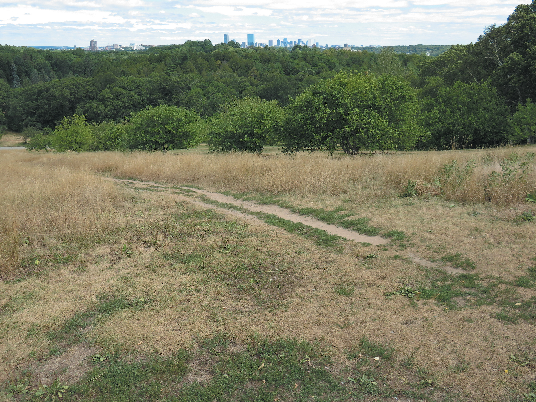
October was a very wet month, bringing soaking rains on five occasions. Torrential downpours occurred on the evening of the 21st, bringing half an inch of rain within a 15-minute period and an inch of rain over a one-hour period. This left low areas flooded and there was significant erosion on gravel paths and washouts in mulched beds. Three storms in October each delivered between 1.25 and 2 inches of rain. Despite this much-needed precipitation, extreme drought conditions persisted and much of the rainfall was lost as runoff. October temperatures were normal with pleasant fall days and cooler nights. Sourwood (Oxydendrum arboreum), ginkgo (Ginkgo biloba), red maple (Acer rubrum), sugar maple (A. saccharum), and hickories (Carya spp.) produced a great show of fall foliage color, but the leaves of many other trees desiccated or dropped off prior to color change because of the drought.
November was slightly warmer than normal with below average precipitation. On November 1st, drought conditions were downgraded from extreme to severe but supplemental irrigation continued to be necessary. We received regular precipitation throughout the month with fewer intense storms and a light dusting of snow on the 21st. The first half of November was unseasonably mild but more normal conditions returned mid-month and cooled further during the last week. Red oak (Quercus rubra) foliage was a beautiful red despite the ongoing drought conditions. By the end of autumn, we were 8.15 inches below normal rainfall for the year.
Early Winter 2016–2017
December brought the beginning of meteorological winter. We finished the year (January 1 to December 31) with a deficit of 8.6 inches of precipitation and entered 2017 still in severe drought conditions.
Citation: Pfeiffer, Sue A. 2016 Weather Report. Arnoldia, 74(4): 14–22.
2016 Recap
It was a tough year for the Arboretum’s living collections. Cold temperature events in February and April led to much damage and even the death of some plants. Summer brought hot and humid conditions and little precipitation, leaving soils extremely dry. Autumn saw some relief with cooler temperatures and more rain than summer, but drought conditions still prevailed. We are concerned about the long term effects of drought on the health of our collection and expect to see the effects of the 2016 water deficit on plant survival and growth in 2017.
Sue A. Pfeiffer is an Arboretum Horticulturist at the Arnold Arboretum.